Dolomites 10.-13.09.2026.
Dolomites 10.-13.09.2026.
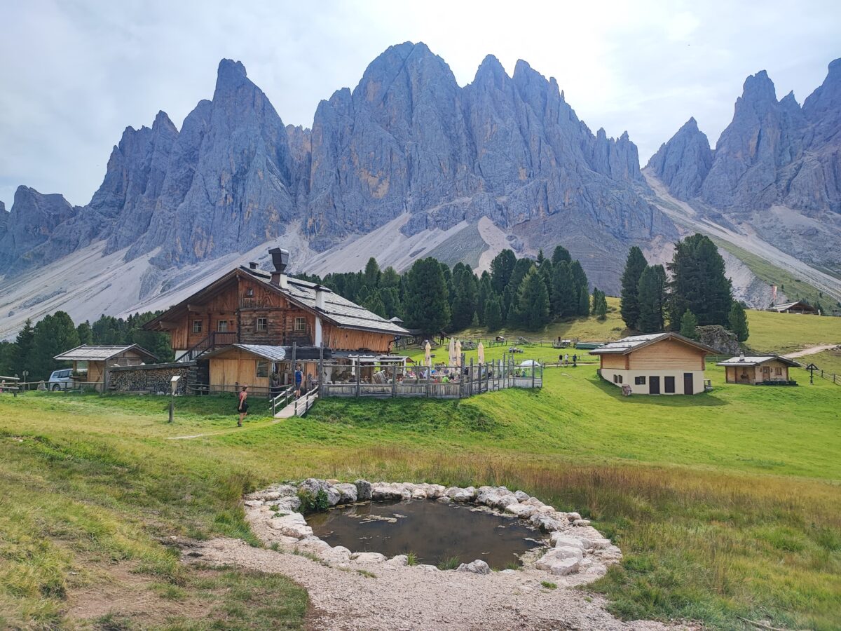
The Dolomites or Dolomite Alps are a mountain group in the eastern Alps in Italy. They are mainly located in the province of Belluno (Veneto) and, to a lesser extent, in the provinces of South Tyrol and Trentino (all in northeastern Italy).
By convention, it stretches from the Adige river in the west to Piava in the east, and between the Puster valley in the north and the Sugana valley in the south. One national park (Parco Nazionale Dolomiti Bellunesi) and several regional parks are located in the Dolomites.
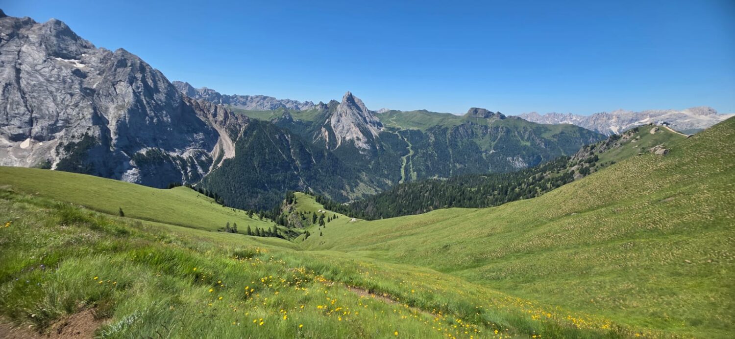
In August 2009, the Dolomites were declared a natural World Heritage Site by UNESCO. The Dolomites have 21 peaks higher than 3,000 m above sea level and cover an area of about 141,903 hectares. There are some of the most beautiful Alpine landscapes with vertical rocks, steep cliffs and a large density of narrow, deep and long valleys. There are varied landscapes of great geological significance, such as natural columns and walls, karst formations (the largest number of different limestone formations in a limited area in the world) is, peaks and glaciers. They testify to the rich geomorphological past of rocks formed by erosion, earthquakes and glaciation.
Some standalone rocks are more than 1,500 m from their bottom, and are among the highest limestone cliffs in the world. This is why landslides, floods and avalanches are common in this area.
Dolomites are perhaps the most visited mountain massif in the world, which is the cause of their only flaw - too crowded.
itinerary
FIRST DAY
We depart from Zagreb at 7:00 a.m., and with two stops, around 2 p.m. we arrive at our hotel in Badia. We take the keys, leave things and walk to the cable car La Crusc that brings us to the vast plateau of the Armenians. Plato is located at a height of 1600 - 2000m, and is part of the Fanes - Senes - Braies Nature Park at the foot of the impressive rocks of the Sasso di Santa Croce group. The trail starts from the church of Santa Croce (La Crusc is a country name) and after a little more than 3 hours of walking takes us back to the parking lot in Badia.
The Second Day
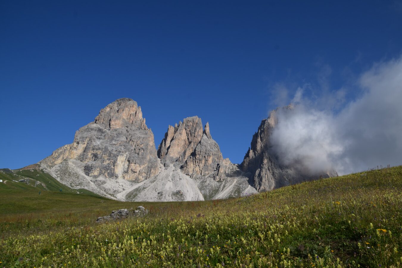
Getting up and having breakfast. We're leaving at 8:30. The Sassolungo/Langkofel mountain range lies between two valleys, Val Gardene and Val di Fasse. The highest peak after which the entire massif was named is 3181m high, and the ninth highest peak in the Dolomites. The almost 17 km long trail circles the massif and overcomes almost 800 m of altitude difference. For the passage of the trail we will need about 6 hours of walking, plus rest. The track starts at Passo Sella, a 30-minute drive from our hotel. Along the way we will come across several rifugia, so that places for rest and refreshment will not be lacking. The days are long, so we do not have to rush, but enjoy the majesty of Sassolung. After returning to Passo Sella, we go to the hotel, and further... how suits anyone, dinner, rest, sleep.
The Third Day
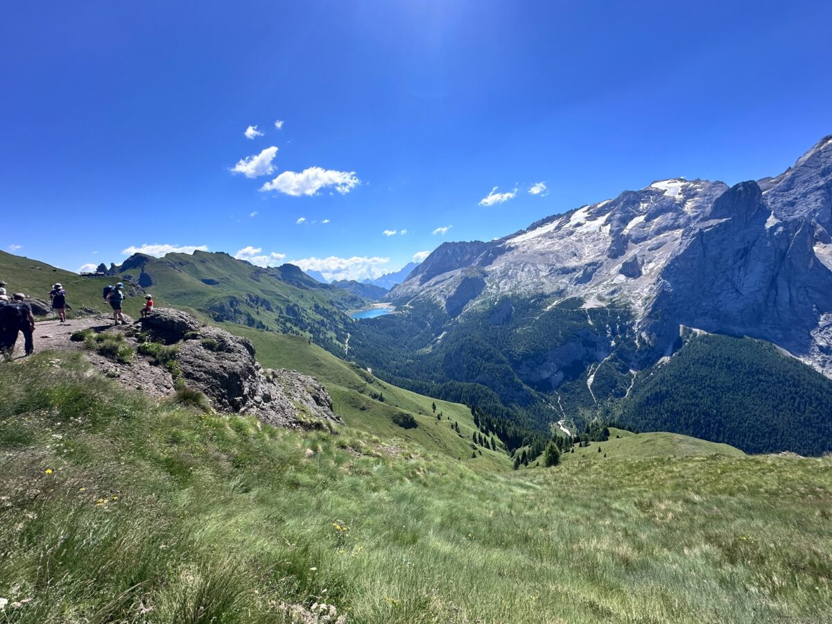
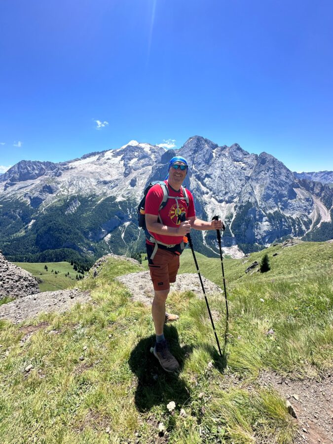
Getting up and having breakfast. At 9 a.m. we head towards Arabba and the cable car Porta Vescovo. We'll be there in less than half an hour. By cable car we reach 2500m and Rifugia Luigi Gorza. There's hardly a place with a better view of Marmolada. After taking a photo and enjoying the views, we set off on the Viel del Pan (bread trail), named so because the merchants from Bellun used to carry flour and other products to the Ladin Valleys along the way. Today it is a panoramic trail with views of Marmolada, Piz Boe, Sassolungo... Along the way we have two more rifugia, so there are places for rest and refreshment. The trail offers a lot of options, shorter, longer, with a cable car, no cable car, ridge or no ridge... We have already tried a shorter version without a cable car, but this one seems better to us, and it is not too heavy because of the cable car and it goes on the ridge. Basically, the trail ends at Passo Pordoi. From there, it can be reached by foot, or partly by cable car, and partly by foot. This depends on the condition of the group/individuals, weather conditions, etc. After the descent, we return to the hotel, and further as the day before.
FOURTH DAY
Getting up and having breakfast. We're leaving early today, 8:00. We're taking all the stuff because we're not going back to the hotel anymore. To reach the parking lot at the beginning of the Adolf Munkel trail we need an hour and a half drive. The Adolf Munkel trail is located below the magnificent Geisler/Odle massif. The trail connects several mountain huts (Rifugio, Malga, Alm are names) some of which are on the trail itself, and some need a little turn. The most striking place is certainly Rifugio Odle/Geisler Alm, which offers the best view of the Geisler/Odle group. Gampen Alm, Glatch Alm, Dusler Alm... The trail starts from a height of 1680 m and quickly climbs up to 2000 m and at that height, with minor deviations, it stays the whole way. To tour the trail with vacations and lunch break we will need about 5 hours. Then we head to Zagreb. On the way again we stop at least twice and in the late evening we arrive in Zagreb.
Locations
Departure
Conditional Difficulty
| K1 - Light | Less than 5 hours walk |
| K2 - Moderately demanding | 5-7 hours walk |
| K3 - Demanding | 7 - 9 hours walk |
| K4 - Very demanding | More than 9 hours walk |
Technical Difficulty
| T1 - Undemanding | Walking without the use of hands and tools |
| T2 - Moderately demanding | Walking and occasional use of hands, easy climbing |
| T3 - Demanding | Occasional climbing with the use of hands and aids (clicks and steel ropes). Winter use of dereza and cepina as needed |
| T4 - Very demanding | Longer and more demanding paths of secured roads, constant climbing. |
List of things that would be good to have with you
- Gojzerice or hiking sneakers
- Jacket, fleece, thin gloves, raincoat
- Hat or scarf, sunglasses
- Mountain sticks (who wants)
- Sandwiches (or something else), sweets, dried fruits, energy bars
- Water, 2 - 2.5 L
- Identity card - OBLIGATIONAL
The price includes
- Passenger van transport (8 passengers)
- Toll and fuel costs
- Three nights with breakfast in double and/or triple rooms
- Guide and organization of excursions
- Warranty insurance
- VAT
Price does NOT include
- Personal consumption (coffee, drink, food)
- Ticket for La Crusc Cable Car (20€)
- Map for the cable car Porta Vescovo (18€) and possibly the cable car Fodom (15€)
MOUNTAIN & FOREST TRAVEL d.o.o.
10000 Zagreb
IBAN: HR1724020061101070196
By responding to the excursion, each individual confirms that he/she is familiar with the conditions of the excursion, and that he/she meets the health and physical conditions for safe participation on the excursion.
 English (UK)